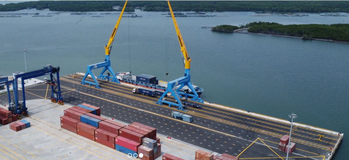
1. Navigation for dredging work:
Based on the design locations of dredging area and benchmarks, the Contractor to be apply the DPGS set or the poles at longitudinal line at both sides to navigate of dredging area.
2. Determine the depth of dredging:
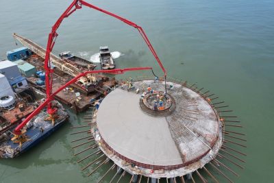
· Installation of the measure station at a stabilized location to measure the depth of water during dredging construction period. Based on the design levels, apply levelling tool to be induct the dredging level to measure station following the water level at real times, calculate the depth of dredging level to ensure that must be comply with the design of route.
· Based on dredging design level, water level and provisional depth in construction period as well as method statement to determine the depth of dredging grab of construction at real time. The average tidal level is 10 cm to adjust for each time of dredging. At the construction at this moment the depth of grab is formular as below:
The depth of dredging grab = |Design level| + |water level|+|provisional depth|
· In the construction period, after determining the depth of grab, the contractor to mooring anchors the signals of level on the cable of grab for the stopping of dredging to
ensure exactly the design depth.

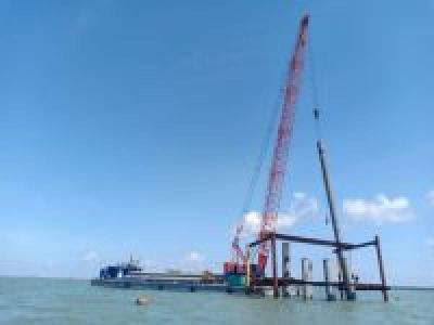
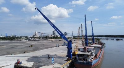
3. Mooring the dredging ship to grab:
- To located of Grab to depart, and mooring of anchors (4 anchors are including: 1 anchor at propeller of ship, 1 anchor at head of ship, 2 rest of anchors at both sides of ship) following of procedures as below:
- Mooring at propeller at first, recognizing the anchor fixed into soil at seabed and unable to move following this to be mooring at head after that at both sides of ship.
- Mooring at both sides will be moved comply with schedule to ensure as requirements below:
· Anchors must be fixed into soil of seabed and unable to move during construction period.
· The angle of cable and perpendicular line with route of dredging must be ensure that it does not access 15o.
· The location of mooring at propeller and head of ship must be in grid line of dredging route area.
· 2 anchors at both sides to be located with perpendicular of dredging route.
· All anchors to mooring by tugboat. After locating anchors, the cable stretched to check these anchors fixed into seabed.
· To prepare the anchor and cable’s winch and buoys connected by shackles, hook the cable to tugboat.
· The cable’s winch to be released for the dredging ship easy move to re-located to workplace.
· The operator of dredging ship to be located finished the mooring and requested the tugboat to check whether anchors fixed into seabed.
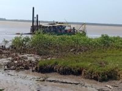
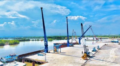
4. Dredging by Grab:
· The dredging ship to be located at the begin point of dredging area, as well as the tugboat to be fixed anchors into seabed, after that dredging ship move to a side (based on the fixed of spar buoy lines).
· The operator completed preparation work to depart the dig out by grab of dredging ship.
· The control four anchors to make the dredging ship move toward, backward or left-hand side or right-hand side. The Operator manages the dredging area by spar buoy lines to make sure it’s enough width of dredging out area.
· The dredging ship to be located along dredging area, the Grab to be managed by boom and cable to control the depth of dredging out each layer with dimensions 10m width from 1m to 3m depth, the dredging ships to dig out from left to right direction and reversal.
· The dredging out follows the method step by step to make sure there is no lacking any dredging area.
· To measure the depth of dredging to comply with design depth regulations as well as the provisional of depth for tolerance and re-backfill may be take place in during construction.
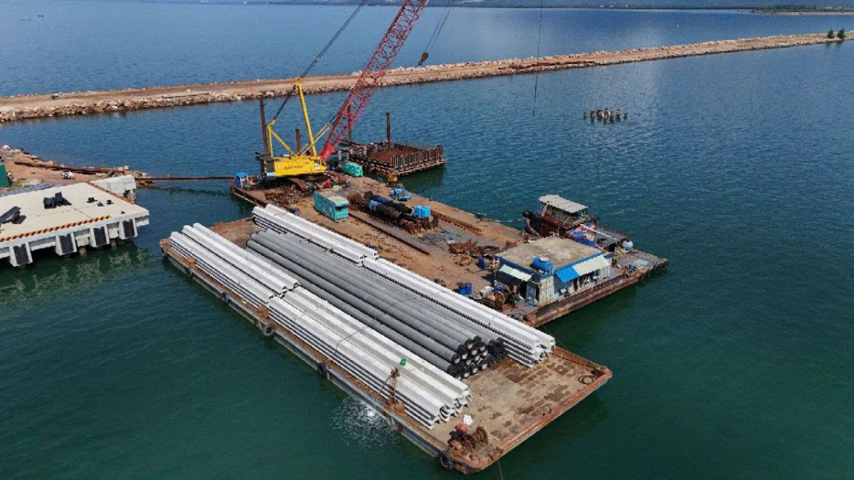
· The dredged soil dump on the side of carriage barges by the rope to tie between carriage barge with barge grab. The dredged soil to fill by grab, after then to un-tied rope between carriage barge and barge grab to move the full barge by tugboat from dredging site to backfill site.
· Following sequences for this Method of Statement until complete the dredging area.
· The deep of grab to be adjust for each area changes 0,1m water deep.
· To avoid the soil, drop back to the dredging area so there is not allow to full soil on carriage barge and do not allow to mooring the full soil carriage barge at dredged area.

Diagram of dredging by grab
Notes:
- To ensure the depth of dredging area equivalence level and enough depth of design dredging so that it must be inspected every day in order to adjustment barge grab for the depth and the width of dredging area and make the temporary buoys of dredged area before moving to next area.
- The depth of cable for dredging to be adjust when recognize the depth has changed 0.1m depth.
- The dredging area is completed, the contractor is inspected by measuring the ruler for the bedding of dredged area. In stage of handing over and taking over with Client and consultant to apply the return sonic measure tool to record the depth of dredged areas.